top of page

An early map of Sutton with "Kezar Pond" near the top. From: Lot Number 20: Eight Generations at the Muster Field Farm Museum: Matthew Harvey Homestead Sutton, New Hampshire, by Jack Noon.
Old Maps of Sutton

Sutton was in Hillsborough County in this 1816 Carrigain map. In 1823, Merrimack County was formed from parts of Hillsborough and Rockingham Counties and Sutton now is in Merrimack County.

1858 map shows Sutton in Merrimack County.
1892 — New Hampshire State Atlas, D. H. Hurd & Co. Click graphic for larger map.
Other old names: Dantzick was Newbury
before it was Fishersfield, and New London
was Heidlebourg. See "defunct town names."
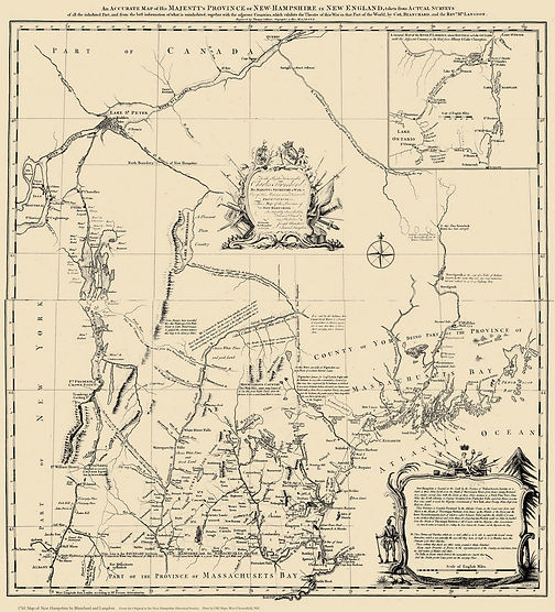
1761 "Blanchard & Langdon" map. Click to zoom, then double click map & scroll to see Sutton, then known as Perrystown, to the east of "Sunnipee Pond".
bottom of page


